This website uses cookies to improve your online experience and to understand how the website is used.
For more information about this, please visit our privacy policy page.
Do you agree to the use of cookies?
Unveiling Nature's Treasures: Where Gold Meets Excellence
Geological Framework of the Permit Area in Mauritania Mauritania, from a geological perspective, is subdivided into five major units: the Rgueïbat Dorsal, the Mauritanide chain, the Taoudéni and Tinduf basins, and the Senegal-Mauritanian coastal basin.
The permit is situated at the center of the Tasiast-Tijirit unit. This terrain represents the southwestern extremity of the archaic part of the Rgueïbat ridge. The Rgueïbat Shield constitutes the northern part of the West African Craton, consisting of archaic rocks and other paleo-proterozoic formations (Birimian and Burkinian) that dominate the rest of the shield.

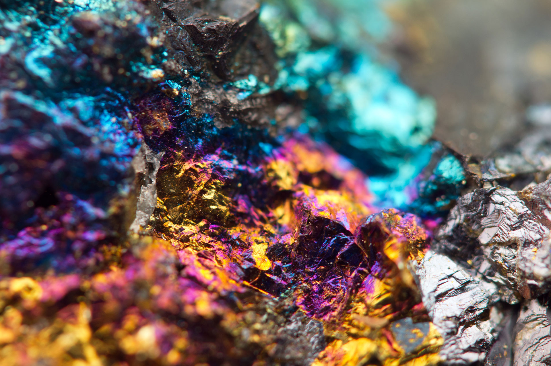
The Tasiast-Tijirit region is renowned for its geological richness, boasting the presence of various valuable resources such as gold, silver, and more. These resources have been discovered within the granitic-gneissic basement and volcanic-sedimentary supracrustal formations that make up the greenstone belt. Migmatites and ortho-gneissic granodiorites, which are prevalent at the Tasiast site and throughout the Tijirit region, run parallel to the Akchar dune belt in a NE-SW orientation.
The greenstone belt itself is comprised of a complex mix of volcanic-sedimentary rocks, filling the basins between the granitic-gneissic domes. In Tijirit, these belts primarily extend northward and interface with intrusive granitic to gabbroic and ortho-gneissic rocks. Further to the east, certain belts exhibit curved formations, possibly associated with regional folding or localized dome tectonics. These belts encompass volcanic and volcanogenic ultramafic to intermediate sedimentary sequences, featuring iron formations, iron-rich metasediments, and quartz.
Within these belts, lithological successions have undergone metamorphism ranging from mesozonal to epizonal, resulting in the formation of green schists, amphibolites, and multiple deformation events. For a more comprehensive understanding of the geological features and resource potential of this region, we offer a Geological Report available for download in PDF format. Explore the wealth of information it contains to delve deeper into the geological marvels of the Tasiast-Tijirit region.
Simply provide your name and email below to access this valuable resource.
Enter your name and email below to receive a download link for the evaluatiion report in PDF format.
Explore the world of geology with just a click!
By sending this form, you confirm that you have read and acknowledged our privacy policy to have taken note of it. More info